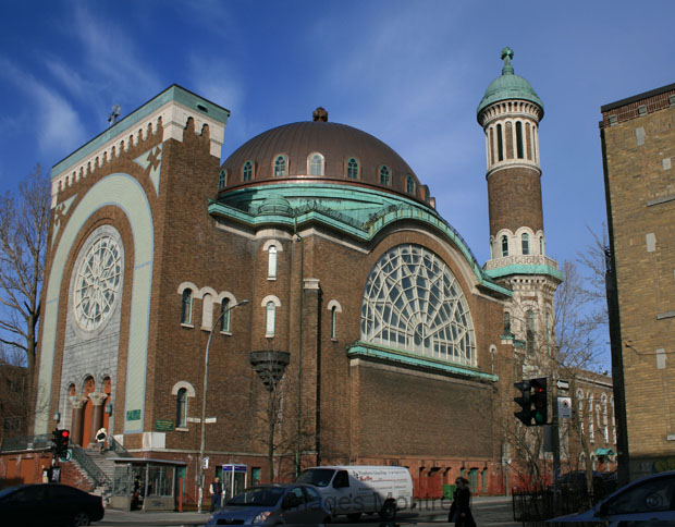
This district is not exactly an official Montreal’s district, being part of arrondissement Plateau Mont-Royal. This is the reason why Mile-End does not have clear limits. Let’s say that the Mile-End is bordered to the north by Jeanne-Mance park, Van-Horn to the South, Hutchison and Saint Dominique at the eastern limit. Being a trendy district, many people are deciding by themselves that, Mile-End east limit is Saint-Denis, including the industrial area over Saint-Lawrence.
History of Mile-End district
The existence of Saint-Louis of the Mile-End village started in 1878 by getting separated from village CĂ´te Saint-Louis (North part of plateau Mont-royal). Saint-Louis of the Mile-End became the city of Saint-Louis 1895.
The name « Mile-End » have not a clear origin an many different historical explanations exists.
The most known would be that this name came from the time this cosy village was located at one mile from Montreal city limits. We can see this name on maps printed in 1859.
The small town of Saint-Louis have experience a big expansion in the end of 20th century when Canadian Pacific Railroad built a railway near the town causing many industries to came around and settle in. In that time, Saint-Louis limits where up to Saint-Zotique Street to the north (area now part of Little Italy).
369 Pictures of Mile-end, Montréal.
